Skip to content
Canopus Innovation

3D laser scanning & reality capture

Capture the factory as it actually exists.

Canopus converts machinery, production lines, buildings and process environments into accurate 3D records your teams can inspect, model and build from — as a standalone service or as part of a complete industrial relocation.

Canopus / scan division Scroll to inspect

Existing reality

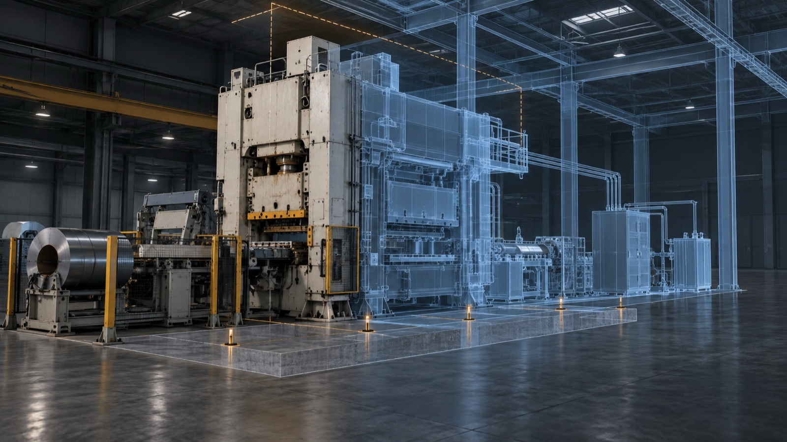
Plan from what is there — not what an old drawing says should be there.

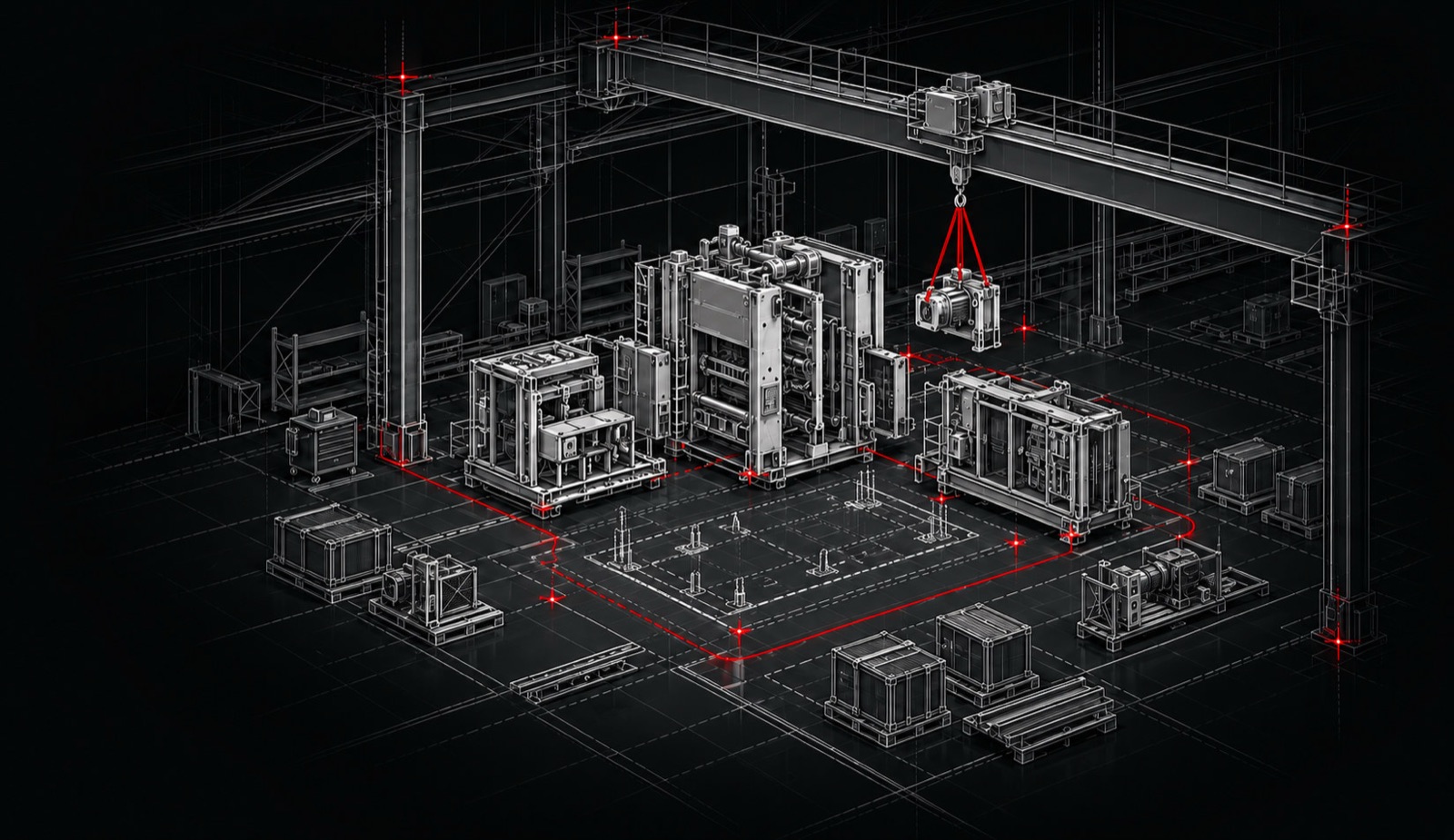
Factories change over time. Guards are modified, utilities are re-routed, foundations are repaired and equipment drifts away from the original layout. Our scans preserve those real conditions before design, dismantling or installation begins.

The registered point cloud becomes the shared spatial reference for your engineers, OEMs, riggers and installation teams — reducing assumptions at every interface.

A single press, cell or specialist machine captured in its operating position, including local interfaces, guarding and access.

Where the scan creates value

One capture. Better decisions across the project.

01

Relocation & reinstallation

Record equipment, interfaces, foundations and utilities before dismantling, then use the same reference to plan and verify the new installation.
02

As-built documentation

Create a reliable digital record when drawings are incomplete, outdated or no longer match the facility.

03

Retrofit & expansion

Give designers accurate existing conditions for new machinery, structural modifications, piping and production-layout changes.

04

Fit, clearance & access studies

Compare equipment with doors, columns, pits, crane envelopes and building heights before committing to a layout or installation plan.
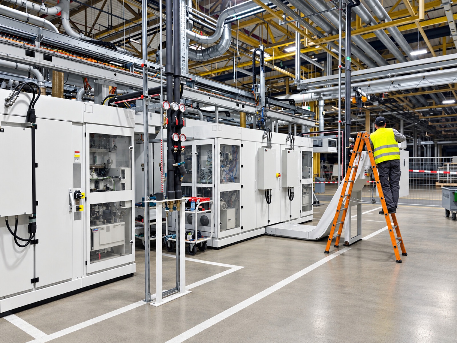
Production equipment documented in place before dismantling begins

The document, not later

The move starts before the first bolt is turned.

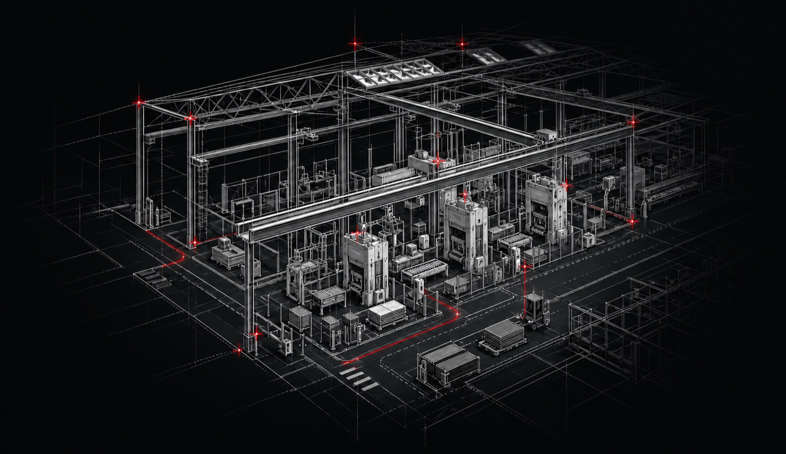
For a complete production line, scanning is not an extra. It is part of the relocation method. We document the line in its operating environment, capture the existing site and connect both datasets to the dismantling, logistics and installation plan.
  • True equipment footprints and working envelopes
  • Foundation, anchor and pit geometry
  • Utility routes and connection points
  • Destination clearances and installation access
  • A documented dismantling record
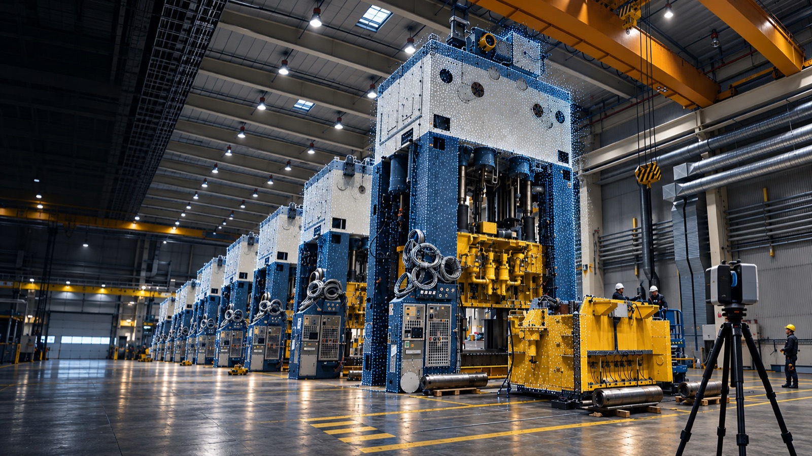
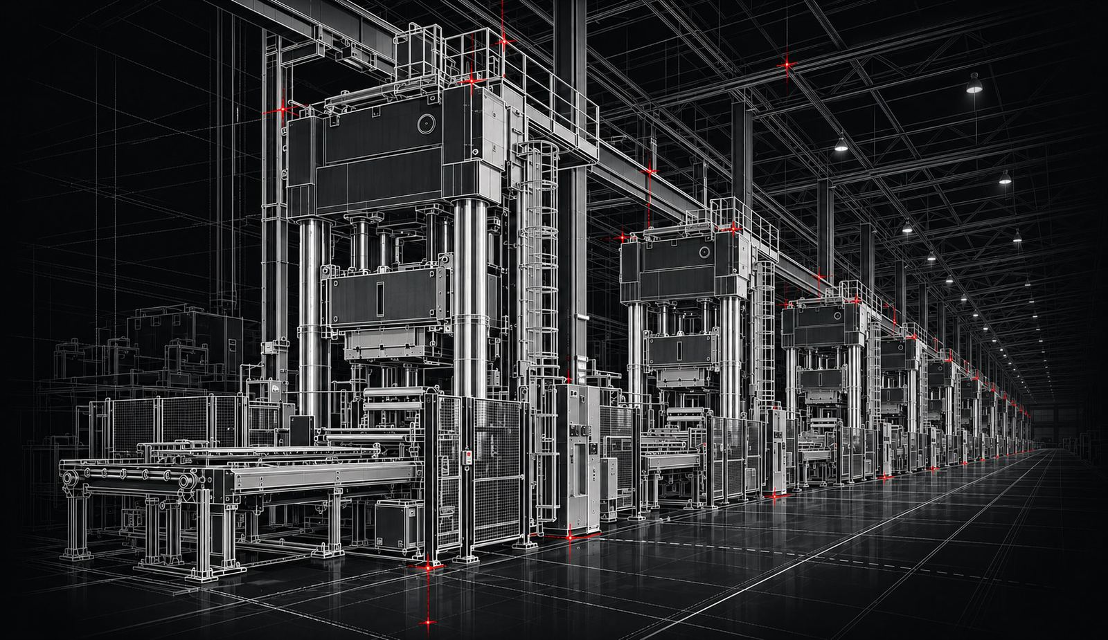
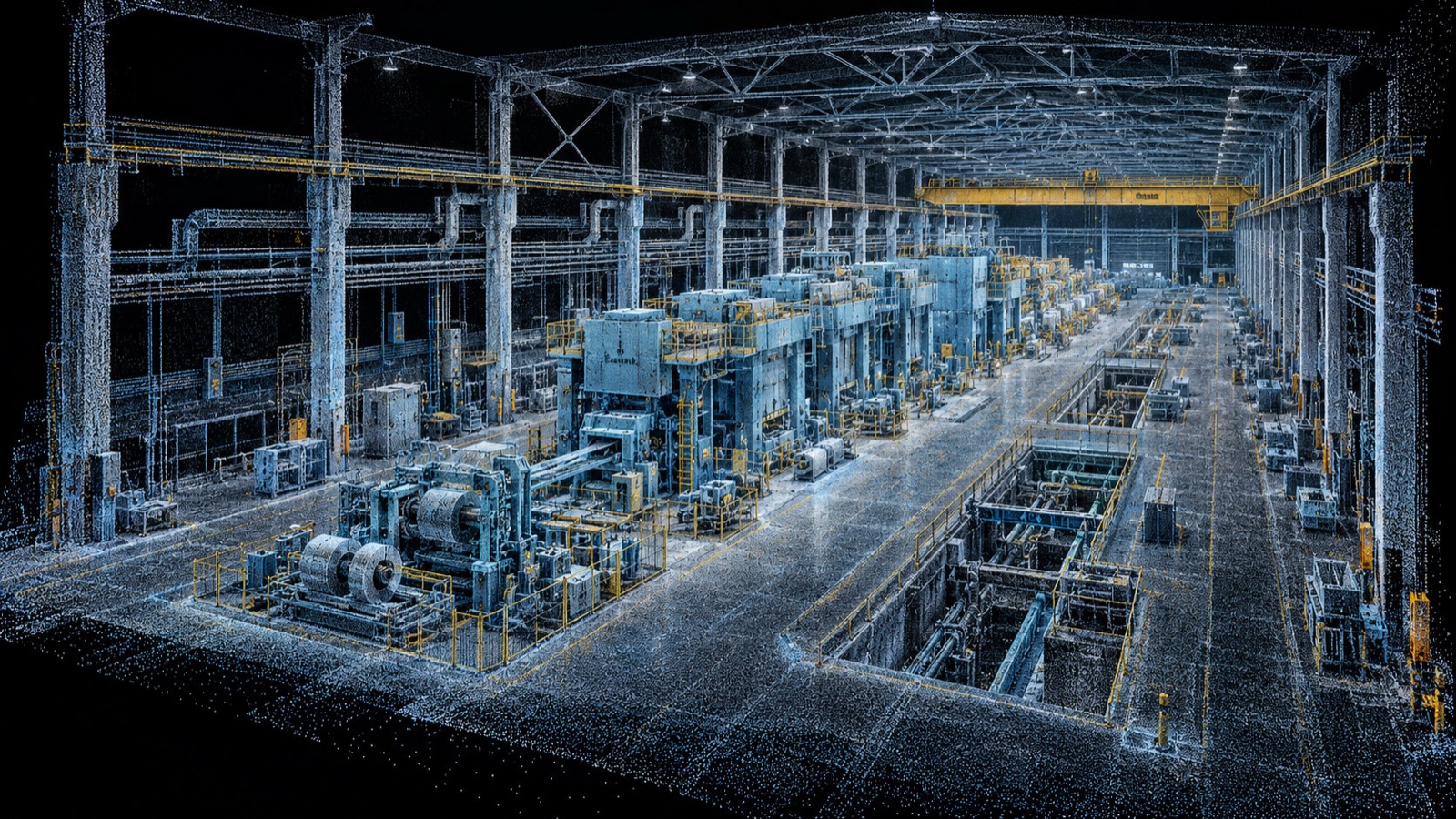
Registered point cloud of a complete press hall

Factory-scale geometry

From one critical machine to a complete industrial facility.

Our scan work ranges from a single machine to a full production plant, process buildings and multi-line shop floors. The same capture discipline, a tighter or broader field of view — and the same purpose: measured conditions your project can actually use.

Deliverables

Data your team can actually use.

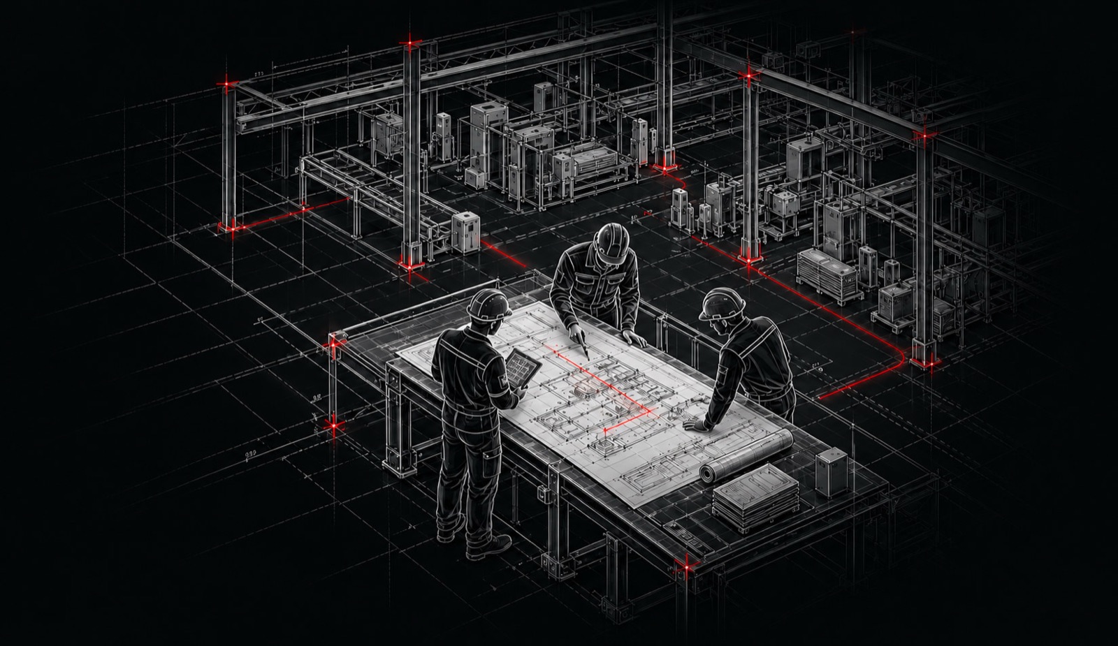
The output is defined around the decision you need to make. We agree the required accuracy, level of detail, coordinate system and the formats before the work begins.
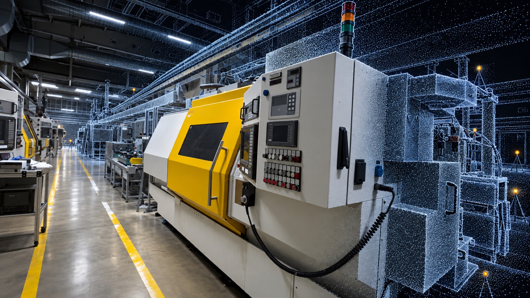
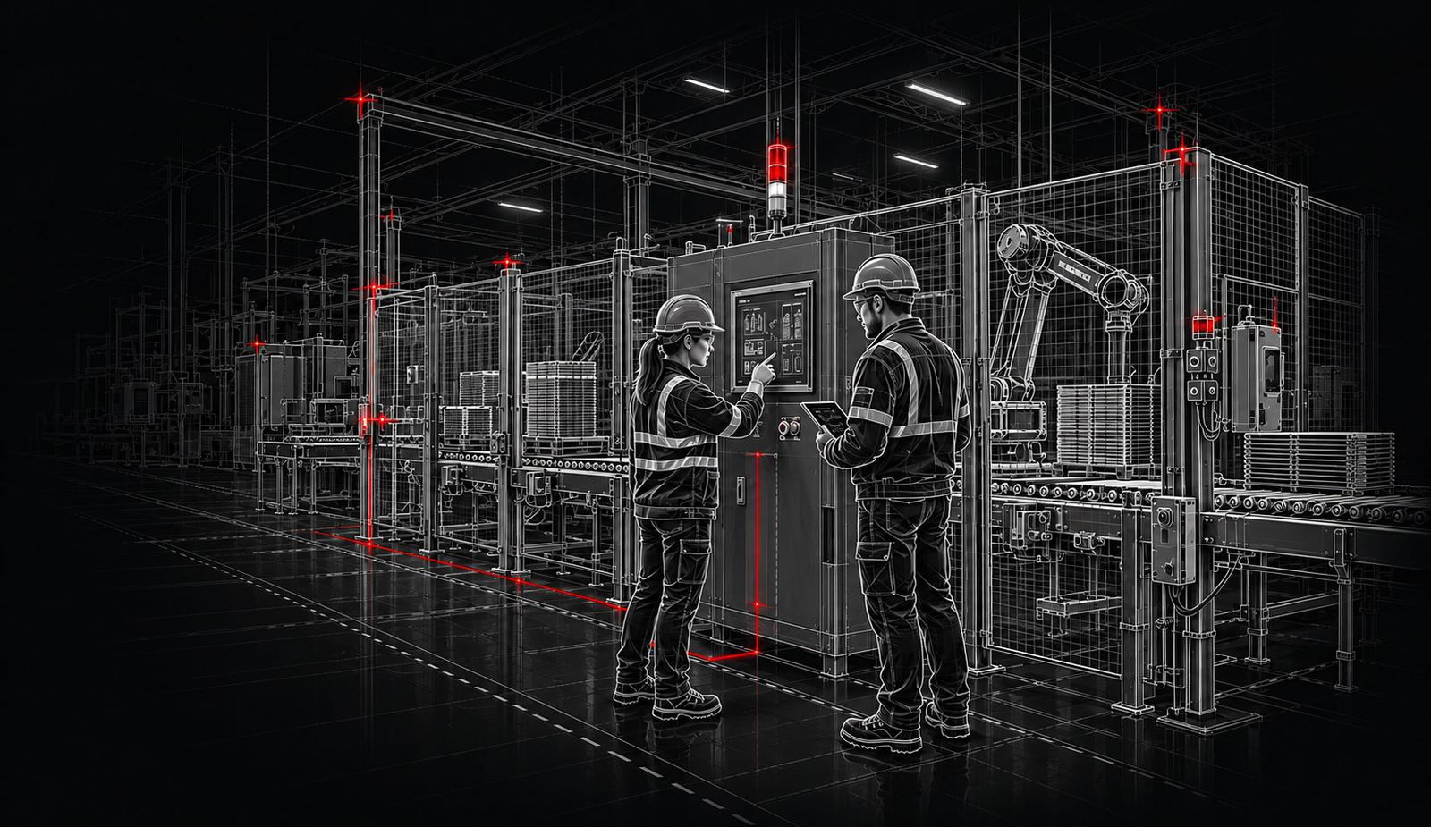
Production machinery captured against a registered point cloud
  1. 01

    Registered point cloud

    A measured and aligned spatial record that becomes the source for survey, modelling, layout and comparison.

  2. 02

    2D as-built drawings

    Dimensioned plans, elevations and sections from the measured conditions for layout, construction and installation planning.

  3. 03

    As-built 3D models

    Editable geometry of the captured plant, machine or line for design, coordination, clearance studies and long-term records.

  4. 04

    Fit-check & clash studies

    A direct comparison of equipment, foundations and building with the intended layout — before a move or installation is locked.

  5. 05

    Anchor & utility mapping

    Foundation, pit, service and connection locations documented so reinstallation is not reverse-engineered on site.

  6. 06

    Digital site archive

    A durable baseline of the as-found plant for later modifications, verification, claims review or another industrial move.

Our process

A controlled path from site to usable data.

Every project is scoped around the decisions the scan must support — not around a fixed package.

  1. 01

    Define the purpose

    We confirm the area, tolerances, coordinate requirements, access conditions and final deliverables.

  2. 02

    Plan the capture

    Scan positions, overlap, production windows and safety requirements are coordinated before mobilisation.

  3. 03

    Capture on site

    The facility is documented from overlapping stations with the production and control plan kept in view.

  4. 04

    Register & verify

    Scan stations are aligned, cleaned and quality-checked against the agreed project tolerances.

  5. 05

    Model, compare & hand over

    We produce the agreed drawings, models or fit studies and deliver files compatible with the client workflow.
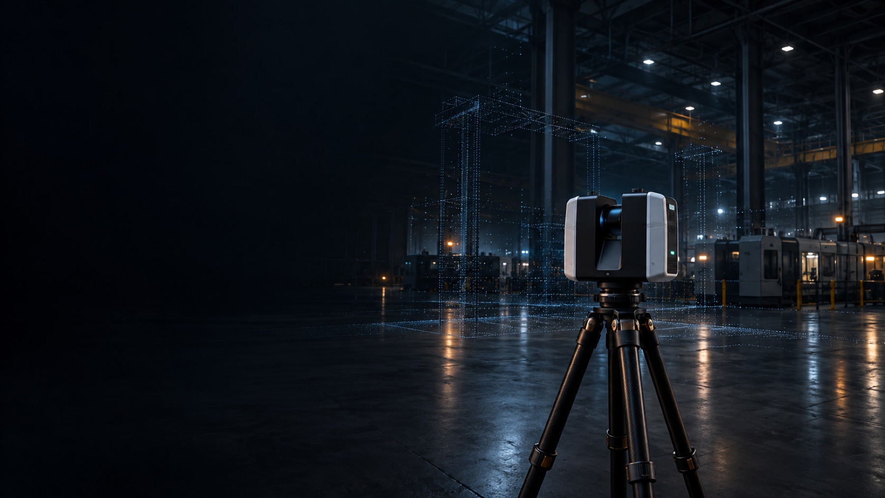
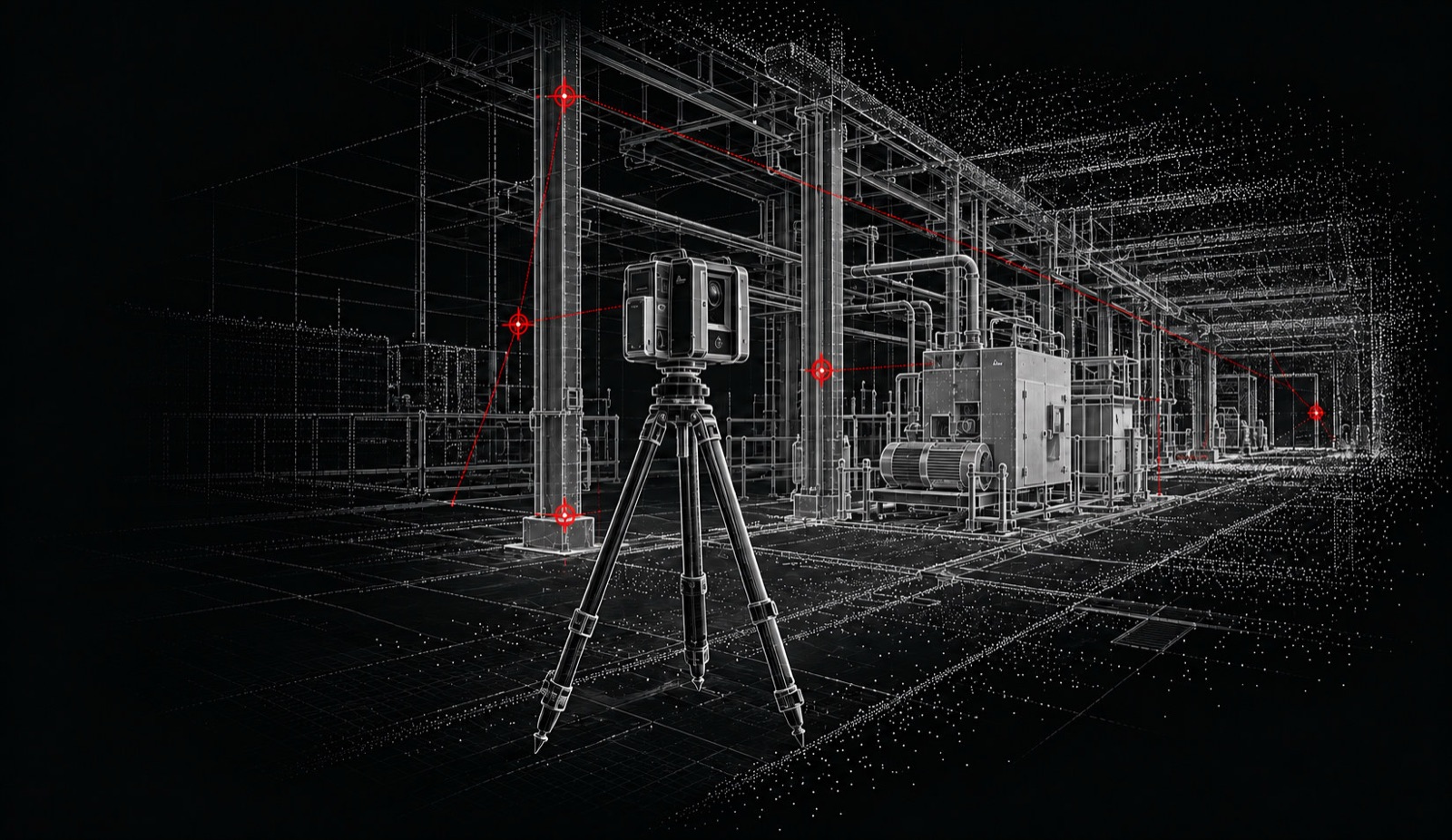
Terrestrial laser scanner capturing a factory hall as a point cloud

Accuracy & technology

Accuracy is defined by the decision — and verified through the workflow.

A general facility layout, an anchor survey and a machine envelope check do not require the same tolerance. We define the target before capture, use overlapping scan stations and control where required, then check the resulting dataset before modelling or comparison begins.

Explore technology & accuracy →
  • Leica RTC360
  • High-density static capture
  • Cyclone registration
  • E57 / RCP
  • Overlap & control verification
  • Scoped accuracy
  • Measured geometry

FAQ

Frequently asked questions

What can you scan?
We scan complete factories, production halls, machinery, production lines, press systems, piping, structural elements and installation areas. The scope can range from one machine to an entire industrial facility.
Can scanning be provided without a relocation project?
Yes. We provide standalone reality capture and as-built services for design, retrofit, facility documentation, verification and related records, as well as scanning as part of a relocation.
Does production need to stop during scanning?
Not always. Many areas can be captured while the facility remains operational. Terrestrial scanning is non-contact, and the capture plan can be coordinated around shifts and safety zones. Temporary access restrictions or short production pauses may be recommended where moving equipment, vehicles or personnel could affect coverage or safety, and certain interior or obstructed faces may need a planned access window.
How long does the scanning process take?
The duration depends on the size, complexity, accessibility and required level of detail. A single machine may be captured within hours, while a complete factory or production line may require several days and multiple coordinated scanning stages.
How accurate will the final data be?
Using the Leica RTC360, we capture millimetre-level 3D data. Leica specifies 3D point accuracy of approximately 1.9 mm at 10 metres, 2.9 mm at 20 metres and 5.3 mm at 40 metres. Final project accuracy also depends on scan distance, overlap, site conditions, registration and the required deliverable. Before mobilisation, we define the target tolerance, plan the scan positions and survey control, and verify the registered dataset before delivery.
What do we receive after the survey?
Deliverables can include a registered point cloud, panoramic scan views, dimensional information, existing-condition drawings, equipment layouts, 2D plans, 3D CAD models or BIM-ready geometry. The right mix depends on how your team will use the information, so we define the required outputs before the survey begins.
Which file formats can you provide?
Depending on your workflow, data can be supplied in common point-cloud, CAD and BIM-compatible formats, including E57, RCP/RCS, LAS, PTS, DWG, DXF and other agreed formats.
Can you create CAD or BIM models from the point cloud?
Yes. The registered point cloud can be converted into 2D drawings, 3D CAD geometry or BIM models at an agreed level of detail. The model scope is defined around how the data will be used.
Can the scan data be used for factory or machinery relocation?
Yes. The data can document the original equipment positions, interfaces, access routes, structural clearances and surrounding conditions before dismantling. It can also support destination-site planning, installation coordination and verification.
Can you check whether equipment will fit in a new facility?
Yes. We can capture the existing equipment and the proposed installation area, then compare their geometry against an agreed coordinate framework to identify potential conflicts involving space, access, foundations, structures, utilities and maintenance clearances.
Can laser scanning capture hidden or internal components?
Laser scanning records visible surfaces within the scanner’s line of sight; it cannot see through walls, machinery or enclosed components. Where necessary, we use additional scan positions, available drawings and supporting measurements to reduce gaps.
Do we need to prepare the site before scanning?
We normally request safe access to the survey areas and the removal of temporary obstructions where practical. Before mobilisation, we review site rules, operational restrictions, access requirements and the intended deliverables.
Can you scan facilities outside Germany?
Yes. We support industrial scanning assignments across Germany, throughout Europe and internationally, either as standalone surveys or as part of larger factory and production-line relocation projects.
How is our facility data protected?
Project data is handled according to the agreed confidentiality and delivery requirements. Access, storage, transfer and retention arrangements can be defined before work begins, including project-specific security procedures where required.

Start with the site

Tell us what must be measured — and what decision depends on it.

Send the site location, approximate scope, timeframe and what the scan must support. We will define the capture and documentation around that, not a generic bundle.

Office

Am Ohlenberg 19, 64390 Erzhausen, Germany

Hours

Monday–Friday: 8:00 AM–5:00 PM